Our Services
Surveying Expertise & Technology
Unmatched Precision
30+ Years Of Experience
In-depth, Detailed Reports
What we do
Precision underground utility location, exposure, and mapping that delivers survey-grade accuracy.
Private Utility Locates
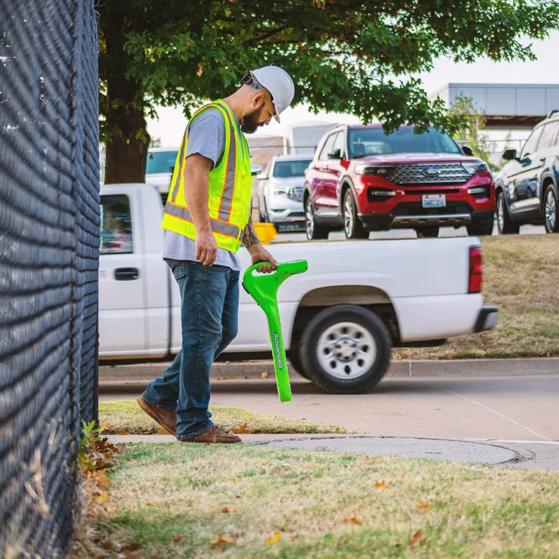
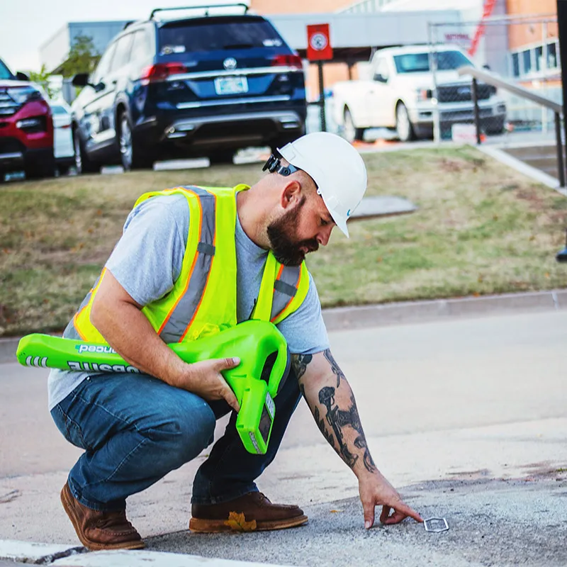
Let us help you avoid delays and extra expenses by locating, identifying, and labeling all utilities – both public and private – that are buried underground and unknown on your project site. These may include telecommunication, electricity, natural gas, cable television, fiber optics, traffic lights, streetlights, storm drains, water mains, wastewater pipes, and others. The fact is, often times only 40% of utilities are covered by calling 811. We can help you make sure there are no unpleasant surprises.
Potholing/Daylighting
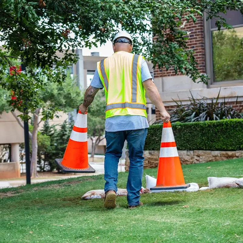
This process is used to perform routine checks–exposing underground structures by digging a test hole to ensure there are no cracks, leaks, or damage to the utility, and that the surrounding area is free from obstructions. Traditionally, these holes were dug using heavy machinery, sometimes creating elevated risk to the utilities, workers and residents in the area. Today, however, potholing/daylighting is done using a safer, much more efficient process called hydro excavation.
Slot Trenching
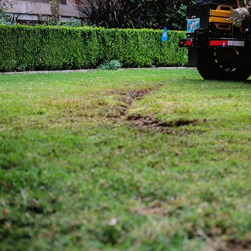
When a project requires the installation of underground utilities such as pipes, cables, and conduits, a method referred to as slot trenching is frequently used. Narrow trenches are created using hydro excavation for increased precision and accuracy, while greatly reducing the area of disturbed earth. Slot trenching is also used for the installations of vaults, shelters, tanks, and various other underground structures where there may be unknown utilities. Slot trenching can also be used to sample an area to ensure it is free from utilities before the installation of a structure, such as a new water meter vault installation.
Utility Mapping
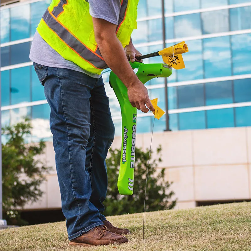
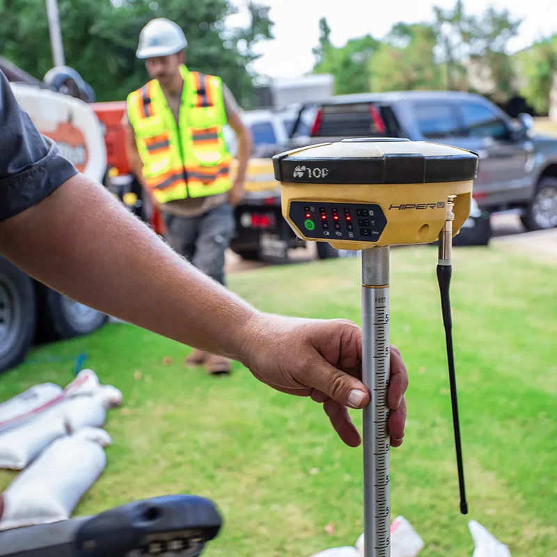
The team at JAUE provides field reports identifying buried utilities, including gas pipes, water mains, electric cables, and telecoms. We can save clients time and money by investigating thoroughly underground before any construction or even design begins and delivering a comprehensive, survey-grade report that reflects sub-centimeter accuracy.
Hydro Excavation
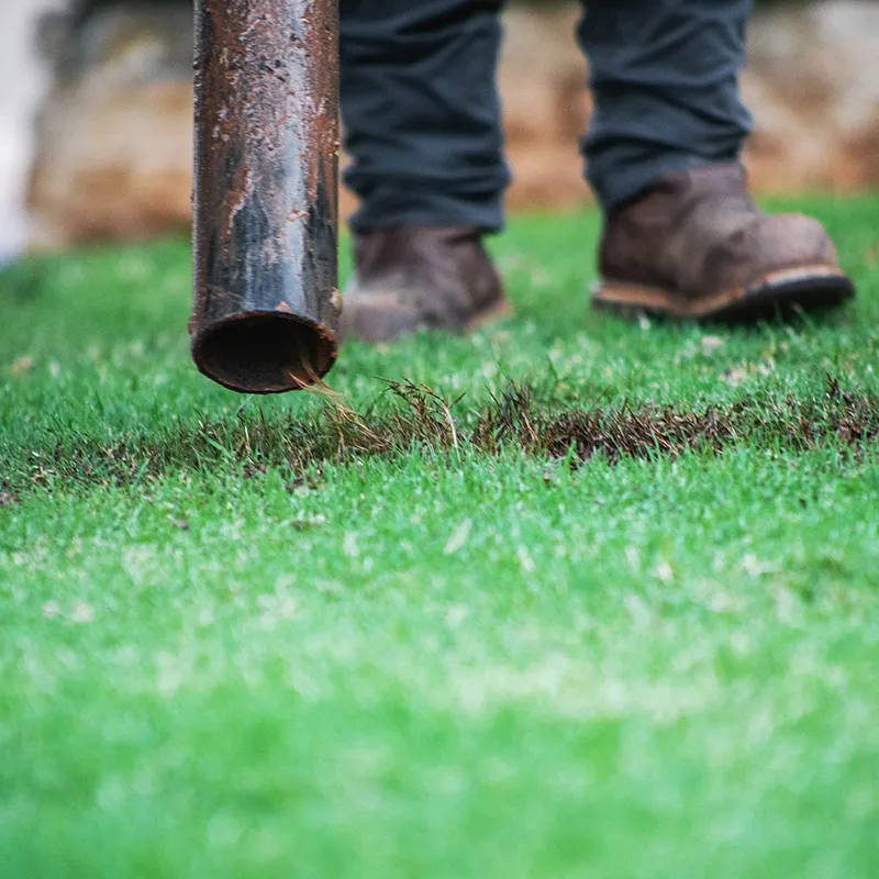
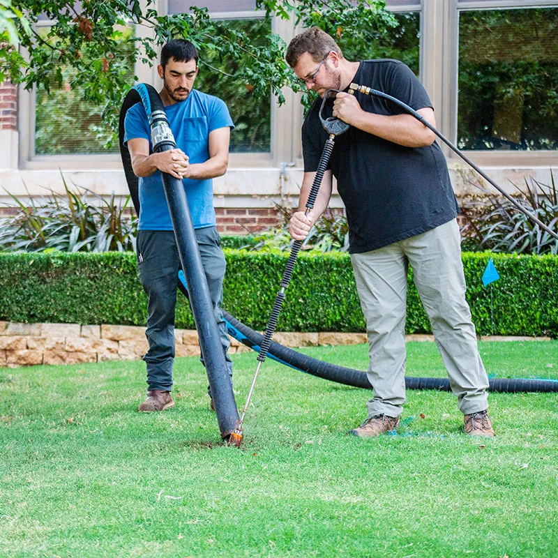
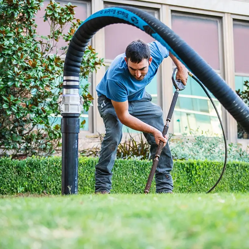
Hydro Excavation enables a team to dig to expose a desired target or area with greater safety and efficiency than traditional excavation methods. Without the need for heavy machinery, hydro excavation uses pressurized water to penetrate the ground, exposing underground facilities to make sure there is no damage to the utility, including cracks or leaks. The water safely breaks apart the surface without causing damage to surrounding soil or structures. All loose soil and debris are then transferred via vacuum to a debris tank.
Subsurface Utility Engineering (S.U.E)
Quality Level A (QL-A)
Quality Level A provides the highest degree of accuracy in the SUE process. Utilities are physically exposed using minimally intrusive excavation methods, such as hydro-excavation, to determine precise horizontal and vertical coordinates. This level also allows engineers to document utility size, material, and condition. QL-A is typically required for final design, conflict resolution, and situations where the consequences of utility conflicts are severe. It drastically reduces uncertainty, redesign risks, unexpected delays, and utility strike potential.
Quality Level B (QL-B)
Quality Level C (QL-C)
Quality Level D (QL-D)